Free High-Resolution Satellite Imagery: The Open-Source Investigator's Guide to Orbital Data
How to access, filter, and analyze free sub-meter and multi-spectral satellite imagery from Sentinel-2, Landsat 9, NAIP, and NASA Worldview for geospatial verification and environmental investigations.
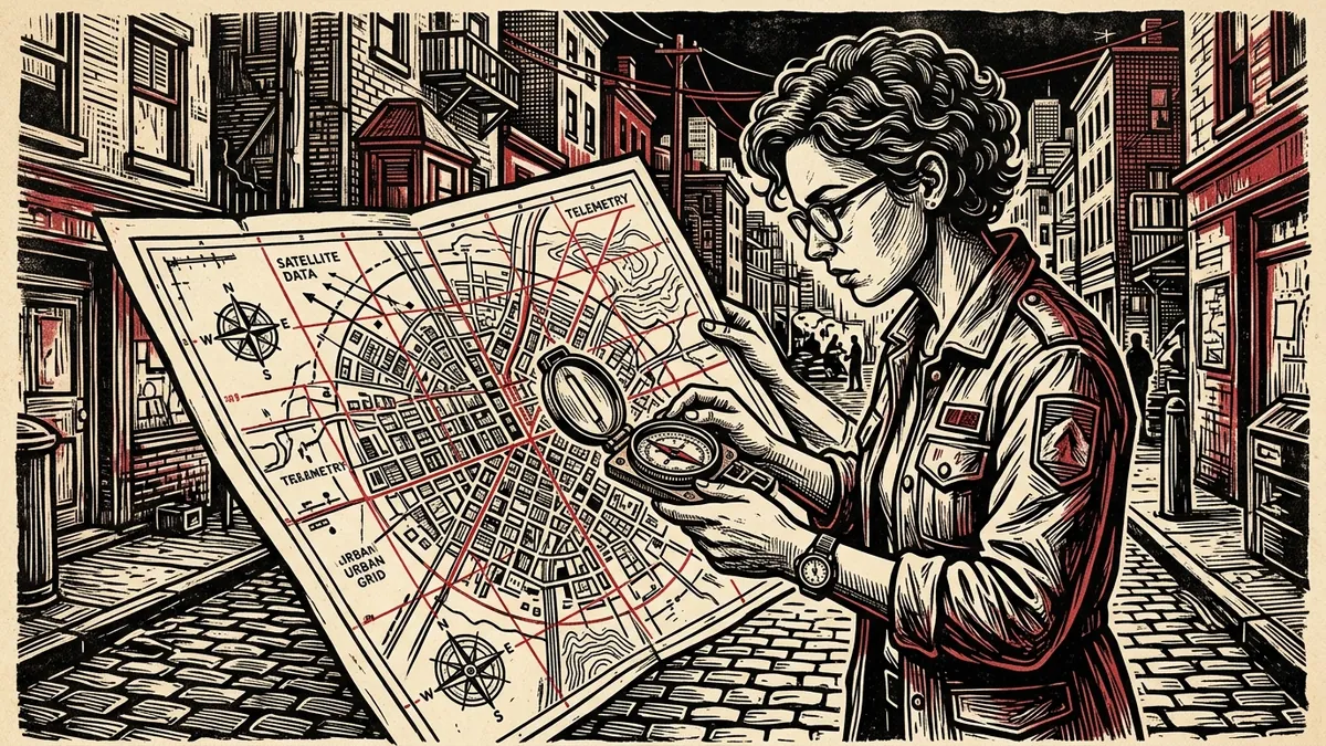
Open-source investigators, human rights monitors, and conflict reporters rely heavily on earth observation satellites to verify troop build-ups, document wartime destruction, track industrial deforestation, and uncover clandestine infrastructure projects. While commercial satellite providers like Maxar Technologies and Planet Labs offer sub-30-centimeter imagery behind steep enterprise paywalls, public space agencies provide vast archives of high-resolution, calibrated multispectral imagery at zero cost.
This guide outlines where to find free satellite imagery, how to bypass cloud coverage using radar sensors (SAR), and how to calculate false-color spectral indices to identify burnt terrain, military fortifications, and water contamination.
┌────────────────────────────────────────────────────────────────────────┐
│             FREE PUBLIC SATELLITE CONSTELLATIONS COMPARISON            │
├────────────────────┬─────────────────┬──────────────┬──────────────────┤
│ CONSTELLATION      │ SPATIAL RES.    │ REVISIT RATE │ SENSOR TYPE      │
├────────────────────┼─────────────────┼──────────────┼──────────────────┤
│ Sentinel-2 (ESA)   │ 10m / 20m / 60m │ 5 Days       │ 13-Band Optical  │
├────────────────────┼─────────────────┼──────────────┼──────────────────┤
│ Landsat 8 & 9 (USGS│ 15m (Pan) / 30m │ 8 Days       │ 11-Band Thermal  │
├────────────────────┼─────────────────┼──────────────┼──────────────────┤
│ Sentinel-1 (ESA)   │ 10m (Interferom)│ 6 Days       │ C-Band Radar SAR │
├────────────────────┼─────────────────┼──────────────┼──────────────────┤
│ NAIP (USDA - USA)  │ 0.6m (Sub-meter)│ 2-3 Years    │ Aerial Orthophoto│
├────────────────────┼─────────────────┼──────────────┼──────────────────┤
│ NASA Worldview     │ 250m - 1km      │ Daily (2x)   │ MODIS / VIIRS    │
└────────────────────┴─────────────────┴──────────────┴──────────────────┘
1. Top Free Satellite Imagery Portals
A. Copernicus Browser (Sentinel Hub)
The European Space Agency’s Copernicus Browser (browser.dataspace.copernicus.eu) is the single most powerful free platform for investigative reporters:
- Spatial Resolution: 10 meters per pixel for visible RGB channels (Band 4, Band 3, Band 2) and Near-Infrared (Band 8).
- Temporal Cadence: Every 5 days globally using the twin Sentinel-2A and Sentinel-2B satellites.
- Key Capability: Instant split-screen time-slider comparisons, cloud-cover filtering (< 10%), and client-side spectral calculations (NDVI, NDWI, Burn Ratios).
B. USGS EarthExplorer
Administered by the United States Geological Survey (earthexplorer.usgs.gov), EarthExplorer is the primary portal for historical imagery dating back to 1972:
- Datasets: Full Landsat 1 through Landsat 9 archives, NASA ASTER Digital Elevation Models (DEM), and Declassified Military Satellite Photos (Corona missions, 1960–1972).
- Format: Ingests raw GeoTIFF format files with complete uncompressed metadata for GIS software (QGIS, ArcGIS).
C. NAIP (National Agriculture Imagery Program)
For investigations located within the continental United States, the USDA’s NAIP dataset provides 60-centimeter (0.6m) aerial photography at zero cost. NAIP imagery reveals vehicle outlines, building roof alterations, and road trenches that are invisible on 10-meter Sentinel satellites.
D. NASA Worldview
When tracking active wildfire fronts, dust storms, industrial flaring, or massive artillery smoke plumes in near-real-time, NASA Worldview (worldview.earthdata.nasa.gov) updates twice daily using MODIS and VIIRS thermal sensors.
2. Unlocking Hidden Intelligence via Spectral Bands
Human eyes perceive light only in the visible spectrum ($\lambda \approx 400\text{–}700\text{ nm}$). Optical satellites capture wavelengths in Near-Infrared (NIR) and Shortwave Infrared (SWIR), which react distinctly to vegetation health, surface water, and artificial camouflage.
Simulate Multispectral Bands in Browser Memory
Inspect Sentinel-2 and Landsat multispectral band combinations, calculate vegetation health (NDVI), and model surface water indices without server uploads.
Launch Satellite Band AnalyzerEssential Sentinel-2 Band Combinations
┌────────────────────────────────────────────────────────────────────────┐
│                   SENTINEL-2 BAND COMBINATION RECIPES                  │
├──────────────────────┬──────────────┬──────────────────────────────────┤
│ COMBINATION NAME     │ BAND RECIPE  │ INVESTIGATIVE APPLICATION        │
├──────────────────────┼──────────────┼──────────────────────────────────┤
│ Natural Color (RGB)  │ B04, B03, B02│ Standard baseline visual inspection│
├──────────────────────┼──────────────┼──────────────────────────────────┤
│ False Color Infrared │ B08, B04, B03│ Highlights healthy vegetation    │
│ (Vegetation / Camo)  │ (NIR, Red, G)│ (bright red); exposes dead turf  │
├──────────────────────┼──────────────┼──────────────────────────────────┤
│ Shortwave Infrared   │ B12, B8A, B04│ Penetrates light atmospheric haze;│
│ (Urban / Wildfires)  │ (SWIR, NIR, R)│ Active fires glow neon orange   │
├──────────────────────┼──────────────┼──────────────────────────────────┤
│ Moisture / Geology   │ B12, B11, B8A│ Highlights saturated marshland,   │
│ (Trench Water/Canals)│ (SWIR2, SWIR, │ dry riverbeds, concrete runways  │
└──────────────────────┴──────────────┴──────────────────────────────────┘
Computing the Normalized Difference Vegetation Index (NDVI)
Healthy living plants absorb red light for photosynthesis while strongly reflecting near-infrared radiation. By measuring the mathematical ratio, investigators can detect vehicle tracks across fields, bomb crater displacement of topsoil, and clandestine clearing:
$$\text{NDVI} = \frac{\text{B08 (NIR)} - \text{B04 (Red)}}{\text{B08 (NIR)} + \text{B04 (Red)}}$$
- Values between $0.6$ and $0.9$: Dense agricultural crops or lush forest canopy.
- Values near $0.0$: Bare rock, concrete structures, asphalt runways, or cleared dirt.
- Negative values ($-0.5$ to $-1.0$): Open water reservoirs or flooded trenches.
3. Piercing Clouds with Synthetic Aperture Radar (SAR)
Optical sensors cannot see through cloud decks or capture night operations. When weather obstructs an area of interest during breaking conflicts, pivot to Sentinel-1 C-Band SAR:
- Active Microwave Pulses: Sentinel-1 does not measure reflected sunlight. It bounces microwave radio beams off the earth’s surface and records the return backscatter echo.
- Rough vs. Smooth Reflectance: Calm open water reflects microwaves away from the sensor like a mirror (appearing pitch black). Metal hulls of naval vessels, reinforced concrete bunkers, and metal container roofs reflect radar beams directly back (appearing brilliant white).
- Coherence Difference: By comparing the phase coherence between two radar passes taken 6 days apart, algorithms generate Damage Proxy Maps (DPM), revealing structural collapses across entire cities during siege warfare.
4. Step-by-Step Satellite Verification Workflow
[Target Verification Coordinates]
        │
        ├── 1. Check Copernicus Browser (Sentinel-2) for latest optical pass (<= 5 days)
        │
        ├── 2. High Cloud Cover? ──► YES ──► Pivot to Sentinel-1 Radar (SAR Backscatter)
        │                         │
        │                         └── NO ──► Apply False Color Infrared (B08-B04-B03)
        │
        ├── 3. Measure ground disturbance via NDVI change-detection calculation
        │
        └── 4. Cross-reference historical imagery using Google Earth Pro Historical Slider
Protocol for Open-Source Reporters:
- Lock Lat/Long Coordinates: Never search by place names; input decimal coordinates (
34.5338, 69.1372) to eliminate translation errors. - Set Cloud Ceiling to Zero: In Copernicus Browser, set the cloud coverage filter slider to under 15% to avoid downloading obscured tiles.
- Document Sun Elevation & Azimuth: Check metadata headers for
SUN_ELEVATIONandSUN_AZIMUTH. These angles are critical when verifying shadow lengths in our Solar Chronolocator. - Preserve Raw Coordinate Metadata: When exporting imagery for publication, always download the calibrated GeoTIFF rather than taking a screenshot to preserve the cryptographic and coordinate bounding box headers.
How to Access and Analyze Free Satellite Imagery
5-step guide to finding, downloading, and analyzing free high-resolution optical and radar satellite data.
- Search 10m Optical Imagery on Copernicus Browser: Navigate to browser.dataspace.copernicus.eu and query Sentinel-2 passes over target coordinates.
- Filter Cloud Coverage Below 10 Percent: Adjust the cloud filter slider to under 10% to eliminate obscured optical ground scenes.
- Switch to Synthetic Aperture Radar (SAR) When Clouds Obstruct: Select Sentinel-1 C-band SAR backscatter to penetrate thick cloud decks and storm systems.
- Apply False-Color Infrared Band Combinations: Combine B08 (NIR), B04 (Red), and B03 (Green) to highlight healthy vegetation in red and expose cleared ground.
- Compute NDVI Change Detection to Identify Ground Disturbance: Calculate the Normalized Difference Vegetation Index (B08-B04)/(B08+B04) to map soil displacement.
Frequently Asked Verification Questions
Key technical principles, error traps, and diagnostic standards for investigative researchers.
What is the highest resolution free satellite imagery available?
How often does Sentinel-2 take new satellite photos?
Can satellite imagery see through clouds?
Simulate Multispectral Bands in Browser Memory
Inspect Sentinel-2 and Landsat multispectral band combinations, calculate vegetation health (NDVI), and model surface water indices without server uploads.
About the Contributor
The Dawat Geospatial Research Desk monitors conflict zones, environmental crimes, and state infrastructure projects using public orbital constellations.
Related Research & Dispatches
Solar Chronolocation: How to Pinpoint Capture Time and Location Using Sun Shadows and Azimuth Angles
A mathematical and practical field guide to solar chronolocation: calculating sun elevation, measuring shadow ...
Sentinel-2 vs Landsat 9: The Geospatial Analyst's Multispectral Band Guide
A technical sensor comparison, spectral wavelength correlation matrix, and band combination manual for Coperni...
SunCalc Shadow Calculator Tutorial: How to Chronolocate Photos and Video Evidence
A masterclass in solar chronolocation: calculating sun azimuths, shadow lengths, and exact time-of-capture usi...