Solar Chronolocation: How to Pinpoint Capture Time and Location Using Sun Shadows and Azimuth Angles
A mathematical and practical field guide to solar chronolocation: calculating sun elevation, measuring shadow azimuth angles, and reconstructing the exact minute a photo or video was captured anywhere on Earth.
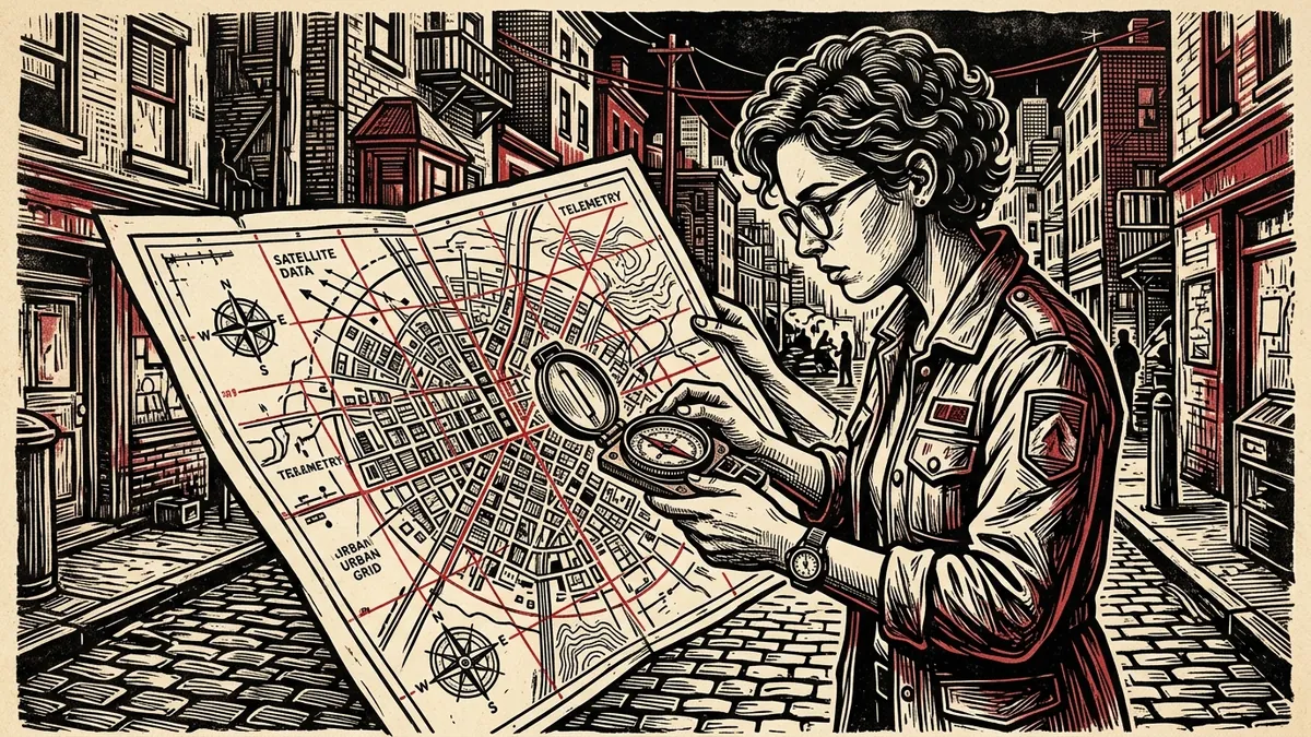
In open-source investigations of wartime atrocities, police abuse, or disputed election rallies, state actors frequently falsify the temporal context of visual evidence: “This protest happened three weeks ago,” or “The strike occurred at dawn when no civilians were present.”
When bad actors strip camera metadata or claim that a video was recorded at an entirely different hour or day, investigators possess an incorruptible physical clock: the Sun.
Every vertical object on planet Earth—a utility pole, a streetlamp, a traffic sign, or a human being—casts a shadow whose angle and length are mathematically determined by three immutable astronomical variables: 1. The exact geographical location (latitude and longitude) of the camera. 2. The calendar date of capture. 3. The exact time of day (solar time relative to UTC).
By combining basic trigonometry with solar ephemeris models, an investigator can pinpoint the capture window of an unverified video to within $\pm 5$ minutes, conclusively disproving falsified temporal claims.
Calculate Sun Shadows & Time in Browser
Compute solar azimuth, elevation angles, and shadow length vectors for any GPS point on Earth with our air-gapped solar ephemeris calculator.
Launch Solar Chronolocator1. The Astronomical Mechanics: Azimuth and Elevation
To chronolocate an image, an investigator must calculate two primary astronomical angles:
                                  THE SOLAR COORDINATE SPHERE
                                              ☼ SUN
                                             /│
                                            / │
                                           /  │
                                          /   │
                                         /    │
                                        /     │
                                       / θ    │ (Sun Elevation Angle)
                             OBJECT   /───────┤ GROUND PLANE
                                     │        │
                                     │◄──────►│ SHADOW LENGTH (L)
                                    HEIGHT (H)
- Solar Elevation Angle ($\theta$):
- The angle of the sun above the geometric horizon, measured in degrees from $0^\circ$ (sunrise/sunset) to $90^\circ$ (directly overhead at solar noon in the tropics).
- Governs shadow length: higher elevation produces shorter shadows; lower elevation produces long, dramatic shadows.
- Solar Azimuth Angle ($\alpha$):
- The compass direction of the sun along the horizon, measured clockwise from True North ($0^\circ$):
- North: $0^\circ / 360^\circ$
- East: $90^\circ$ (approximate morning azimuth)
- South: $180^\circ$ (solar noon in the Northern Hemisphere)
- West: $270^\circ$ (approximate afternoon azimuth)
- Crucial Rule: Shadows project in the exact opposite direction of the sun: $$\text{Shadow Azimuth} = (\text{Sun Azimuth} + 180^\circ) \pmod{360^\circ}$$
2. The 4-Stage Chronolocation Workflow
[EYEWITNESS PHOTO] ──► [1. ESTABLISH TRUE NORTH] ──► [2. MEASURE SHADOW AZIMUTH] ──► [3. COMPUTE ELEVATION] ──► [TIMESTAMP VERDICT]
Stage 1: Establishing True North via Satellite Imagery
You cannot determine a shadow’s compass angle without an accurate True North baseline. Never guess based on road grids, which frequently deviate from magnetic and true north.
- Geolocate the scene to an exact GPS coordinate using satellite landmarks (e.g., Google Earth or OpenStreetMap).
- Identify a permanent ground feature visible in both the eyewitness photo and the satellite view (e.g., a straight curb line, the exterior wall of a building, or a painted crosswalk).
- Orient the satellite view with True North facing directly up ($0^\circ$).
- Measure the compass angle of the reference wall. If the building facade runs at $42^\circ$ northeast, that wall becomes your calibration vector.
Stage 2: Measuring the Shadow Vector
Identify a strictly vertical object standing on flat, unsloped ground: * Best vertical objects: Free-standing metal utility poles, stop signs, soccer goalposts, or architectural corners. * Avoid: Trees (crooked trunks and wind displacement), human beings leaning or walking, and objects standing on hillsides or drainage slopes (which distort shadow lengths). * Measure the angle of the shadow relative to your calibrated True North wall. If the shadow projects toward $310^\circ$ northwest, the sun was positioned at: $$310^\circ - 180^\circ = 130^\circ \text{ (Southeast)}$$ * An azimuth of $130^\circ$ in the Northern Hemisphere conclusively proves the photo was taken in the morning.
Stage 3: Measuring the Object-to-Shadow Ratio (Elevation)
If you have established the approximate date from seasonal foliage or eyewitness reporting, you can narrow the time to the exact minute by calculating solar elevation:
$$\tan \theta = \frac{H}{L} \implies \theta = \arctan\left(\frac{H}{L}\right)$$
- $H$ = Height of the vertical object (in pixels or meters).
- $L$ = Length of the cast shadow on the ground (in pixels or meters).
┌────────────────────────────────────────────────────────────────────────┐
│                   SHADOW RATIO TO SOLAR ELEVATION CHEAT SHEET          │
├────────────────────┬────────────────────┬──────────────────────────────┤
│ SHADOW RATIO (L/H) │ SOLAR ELEVATION (θ)│ ASTRONOMICAL MEANING         │
├────────────────────┼────────────────────┼──────────────────────────────┤
│ 1.0 (L = H)        │ 45.0°              │ Sun is halfway up the sky.   │
├────────────────────┼────────────────────┼──────────────────────────────┤
│ 0.5 (Shadow is 1/2)│ 63.4°              │ High midday sun.             │
├────────────────────┼────────────────────┼──────────────────────────────┤
│ 2.0 (Shadow is 2x) │ 26.6°              │ Low morning or late afternoon│
├────────────────────┼────────────────────┼──────────────────────────────┤
│ 3.7 (Shadow is 3.7x) 15.0°              │ Within 45 minutes of sunset. │
└────────────────────┴────────────────────┴──────────────────────────────┘
Stage 4: Cross-Referencing with SunCalc or Dawat Chronolocator
Once you have your calculated Sun Azimuth ($\alpha$) and Solar Elevation ($\theta$):
- Open the Dawat Solar Chronolocator or
suncalc.org. - Input the exact Latitude and Longitude of the verified location.
- Set the known calendar date.
- Drag the time slider until the simulated sun ray matches your measured azimuth angle ($\alpha$) and the shadow length slider matches your measured $L/H$ ratio.
- The corresponding time displayed is the exact solar capture time.
3. Real-World Case Study: Disproving a Disinformation Claim
A conflict post claims: “Drone attack on central fuel depot occurred at 3:30 PM today.”
Location: 48.4647° N, 35.0462° E (Dnipro, Ukraine)
Claimed Date: October 15, 2026
Claimed Time: 15:30 (3:30 PM local)
The Forensic Audit:
- The video shows vertical utility pole shadows projecting toward $325^\circ$ northwest.
- If shadows point northwest ($325^\circ$), the sun must be in the southeast ($145^\circ$).
- However, on October 15 in Dnipro:
- At 15:30 (3:30 PM), the sun is in the southwest ($218^\circ$), casting shadows toward the northeast ($38^\circ$).
- The sun only reaches azimuth $145^\circ$ at 10:45 AM.
- Evidentiary Verdict: The incident occurred nearly five hours earlier in the morning than claimed, disproving the breaking news narrative.
By harnessing the celestial mechanics of solar ephemeris, investigative journalists transform simple shadows into unshakeable chronological proof.
How to Chronolocate Visual Evidence with Sun Shadows
5-step mathematical procedure for calculating solar capture time from shadows in unverified imagery.
- Geolocate the Scene to an Exact GPS Coordinate: Corroborate ground features on satellite imagery to lock down latitude and longitude.
- Align Satellite View to Calibrate True North: Identify a permanent reference wall or curb and measure its compass heading relative to 0 degrees North.
- Measure the Shadow Vector Direction (Azimuth): Calculate shadow angle from vertical poles, then add 180 degrees to determine solar azimuth.
- Calculate Object-to-Shadow Length Ratio for Elevation: Measure vertical object height and shadow length to compute solar elevation angle via arctan(H/L).
- Cross-Reference Solar Ephemeris on SunCalc or Dawat Chronolocator: Input GPS coordinates and date, adjust time slider to match azimuth and elevation, and read exact time.
Frequently Asked Verification Questions
Key technical principles, error traps, and diagnostic standards for investigative researchers.
How accurate is solar chronolocation?
How do you calculate sun azimuth from shadow angle?
Calculate Sun Azimuth & Elevation from Shadows
Simulate solar positions, verify time-of-capture to within minutes, and validate shadow vectors against astronomical ephemeris algorithms.
About the Contributor
The Dawat Forensic Research Desk specializes in geospatial open-source intelligence, satellite corroboration, and visual media chronolocation.
Related Research & Dispatches
Free High-Resolution Satellite Imagery: The Open-Source Investigator's Guide to Orbital Data
How to access, filter, and analyze free sub-meter and multi-spectral satellite imagery from Sentinel-2, Landsa...
Sentinel-2 vs Landsat 9: The Geospatial Analyst's Multispectral Band Guide
A technical sensor comparison, spectral wavelength correlation matrix, and band combination manual for Coperni...
SunCalc Shadow Calculator Tutorial: How to Chronolocate Photos and Video Evidence
A masterclass in solar chronolocation: calculating sun azimuths, shadow lengths, and exact time-of-capture usi...